Perth’s café strips, one street at a time
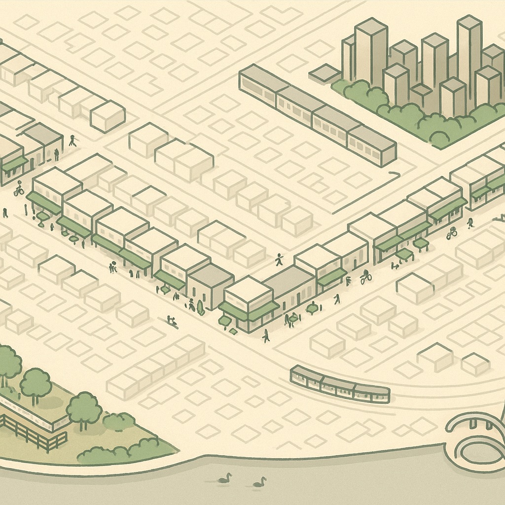
Perth’s cafés don’t cluster the way Melbourne’s do, in laneways and arcades, or the way Sydney’s do, around a couple of dense inner suburbs. They line up along streets. Almost every good café in the inner city sits on one of half a dozen shopping strips, each a few hundred metres of single-storey shopfronts with verandahs, and the strips are far enough apart that most people have a home one and rarely visit the others. Pan across the map and you can see the pattern: little runs of cafés and shops strung along a road, with houses on either side.
A city of strips
The strips are old tram and bus routes, which is why they run in straight lines from the city outwards and why the shopfronts along them are mostly the same height. Beaufort Street, Oxford Street, Rokeby Road and Albany Highway all carried trams once, and the shops that grew up beside the stops are what the cafés moved into decades later. On the map they show as a line of small, closely spaced buildings with cards inside them, breaking up the grid of houses that fills the rest of the suburb.
The counts below are not rankings and they are not ours to invent. The map shows what OpenStreetMap knows on the day you look, and a café that opened last month may not be there yet. Treat this as a guide to where the strips are and what each one is like; the map will tell you what is trading on the day.
North of the line: Leederville and Mount Lawley
Oxford Street, Leederville is the compact one. From the train station up to Vincent Street is a short walk, and nearly every doorway is a café, a bar or a place to eat. It is the strip that fills first on a weekend morning and the one most often recommended to visitors, partly because it is a single stop from the city on the Yanchep line and partly because it is small enough to see all of in ten minutes.
Beaufort Street is the long one, running north from the edge of the city through Highgate and into Mount Lawley. It has had a harder decade than Oxford Street — a strip that long has empty shopfronts as well as full ones — but the stretch either side of Walcott Street still holds a run of cafés that have been there long enough to have regulars in the third generation. Further north the strip thins out, then picks up again briefly around Inglewood.
Two smaller strips are worth knowing. Eighth Avenue, Maylands is a short row beside the station that has quietly become the local’s answer to Leederville, and Angove Street, North Perth is a village corner rather than a strip, with a few cafés around a single intersection.
West: Subiaco and the Rokeby Road corner
Rokeby Road is the strip that looks most like a high street. Subiaco’s shopfronts are older and taller than most, with a run of two-storey buildings around the Hay Street corner, and the cafés share the street with the kind of shops — bookshops, homewares, a cinema — that keep people there after the coffee. It is also the one strip that has been through a genuine redevelopment, with the old oval site and the market precinct changing what is on the map from one refresh to the next.
South of the river: Albany Highway and Angelo Street
Albany Highway, Victoria Park is the strip that has grown the most. It runs from the Causeway end through Victoria Park into East Victoria Park, and for most of that length one side or the other is cafés, restaurants and small bars. It is wider and busier than the northern strips, with the highway traffic running through the middle, and the cafés spread along it rather than bunching up — on the map it reads as a long dotted line rather than a cluster. The East Victoria Park end has been the livelier one in recent years.
Angelo Street and Mends Street, South Perth are the quiet alternative: two short strips a few blocks apart, close to the foreshore, with the ferry from Elizabeth Quay landing at the bottom of Mends Street. It is the strip for a coffee before or after a walk along the river, more than a destination in itself.
The CBD and Northbridge
The city itself works differently. Its cafés hide in the arcades and the lanes — Wolf Lane, Shafto Lane, King Street and the corridors that link Hay and Murray Street malls — and in the ground floors of office towers, where they open early and close by mid-afternoon. On the map they are the cards inside the tall buildings rather than a strip of their own, and the easiest way to find them is to click the towers along St Georges Terrace one at a time.
Northbridge, across the railway, is the one part of the inner city that is more restaurants and bars than cafés. William Street and James Street carry the density, and the cafés that are there tend to be the ones attached to galleries, the library and the cultural centre. Go for lunch or the evening rather than for the morning coffee, which is what the strips are for.
- For a short walk that covers everything: Oxford Street, Leederville.
- For the longest run of choices: Albany Highway, Victoria Park.
- For a high street with shops as well as coffee: Rokeby Road, Subiaco.
- For a coffee that ends at the river: Mends Street, South Perth.