Kings Park and the river edge: walking loops that start in the CBD
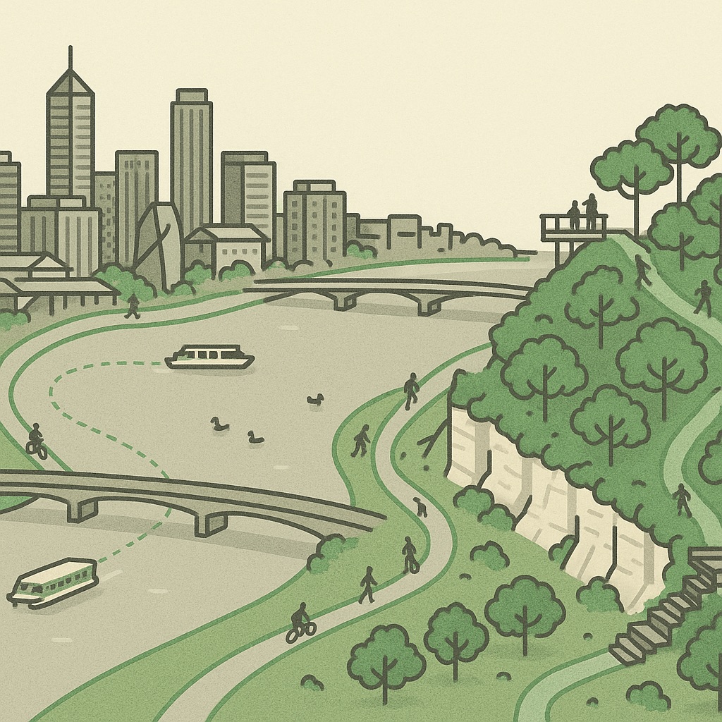
Most capital cities keep their river at arm’s length behind a road. Perth’s central business district runs straight down to the water, and on the south bank there is a kilometre of grass rather than buildings. That geography makes the CBD the natural start of a walk instead of a place to escape from, and the three loops below all begin within a few minutes of Perth station. On the isometric map the river is the large flat shape in the middle; everything in this article happens along its edge.
The river is the city’s front yard
The stretch of the Swan between the Narrows Bridge and the Causeway is called Perth Water, and it is more a lake than a river: wide, shallow and slow, with the city on the north shore and South Perth on the south. Almost every walk in the inner city uses one of its edges. The north bank is the Esplanade, Elizabeth Quay and Langley Park, backed by the towers; the south bank is Sir James Mitchell Park, a long lawn with the skyline as its view. The two are joined by a bridge at each end and a ferry in the middle, which is what makes loops possible.
Loop one: Elizabeth Quay, the ferry and the South Perth foreshore
The shortest loop is the one to do on a first visit. Walk down from the city to Elizabeth Quay, the inlet cut into the foreshore with the footbridge across its mouth, and follow the water east past Barrack Square and the Bell Tower. Cross the inlet on the footbridge, then catch the Transperth ferry from the quay to Mends Street Jetty in South Perth. It is the only ferry route in the city and one of the best value trips on the network, a few minutes across the water with the whole skyline in front of you.
From the jetty, turn west along the foreshore path through Sir James Mitchell Park. This is the view Perth puts on its postcards: the towers across the water, the black swans on the bank, the Narrows Bridge ahead of you. Cross the Narrows on its shared path — the bridge carries the freeway, but the footpath is separated and the view down the river is the reward — and you come out at the bottom of Kings Park, a short walk from where you began. The whole loop is comfortably under two hours at a stroll, and the ferry leg can be done in either direction.
Loop two: the bridges circuit
The bridges loop is the walk Perth locals do for exercise: from the Narrows in the west to the Causeway in the east, along both banks of Perth Water. By most accounts it comes in around ten kilometres. On the north bank it follows the Esplanade, Elizabeth Quay, Barrack Square, the Supreme Court Gardens and then Langley Park, a long flat lawn that was the city’s first airfield, to Point Fraser and the Causeway. On the south bank it is the foreshore path the whole way, past the zoo turn-off at Mends Street and the rowing clubs near the Narrows.
The Causeway crosses Heirisson Island, which is worth a detour: there is a small colony of western grey kangaroos on the island, kept behind a fence but visible from the walking track, and a loop path around the island’s edge. It is the strangest wildlife encounter available within sight of a state capital’s towers.
- Best direction: anticlockwise, so the skyline is ahead of you on the South Perth leg rather than behind.
- Shade: there is very little. In summer, go early or late.
- Shortcuts: the ferry at Mends Street cuts the loop in half, and the Yellow CAT bus at the Causeway end runs back into the city.
Loop three: up into Kings Park
Kings Park sits on the escarpment at the west end of the city, and the walk into it from the CBD is a climb. The direct route is Jacob’s Ladder, a staircase from Cliff Street down to Mounts Bay Road that fitness groups run up and down at dawn; the gentler route follows Mounts Bay Road along the river to the Kennedy Fountain and then winds up through the bush. Either way you arrive at the top of Fraser Avenue, the boulevard of lemon-scented gums that leads to the State War Memorial and the lookout over Perth Water.
From the lookout, the Lotterywest Federation Walkway carries you along the escarpment and out onto a glass-and-steel bridge through the canopy, one of the few places in the city where you look down on the treetops and across at the towers at the same time. Beyond it the botanic garden covers the slope, and the paths bring you back down to the river near the Narrows. Allow a couple of hours; allow longer in spring, when the wildflower display fills the park and the paths fill with people looking at it.
The eastern extension: Matagarup Bridge and the stadium
Since 2018 the river walk has had a new eastern end. Matagarup Bridge is the pedestrian and cycle bridge that arches from East Perth across the river to Burswood and Optus Stadium, and it has become a destination in itself: the bridge deck is a walk, and the climb to the top of its arch is a ticketed experience for those who want it. On the map the stadium is the large oval footprint on the Burswood peninsula, with the Crown complex beside it.
Join the bridge from the end of Langley Park and the walk through East Perth’s Claisebrook Cove, an inlet ringed with apartments that looks like a small harbour town dropped into the city. Cross to the stadium, loop the Burswood Park foreshore, and come back over the Causeway to close the circuit. On a game day the bridge is the way tens of thousands of people arrive on foot; on any other day it is one of the quietest and best views of the river the city has.