Getting around inner Perth without a car
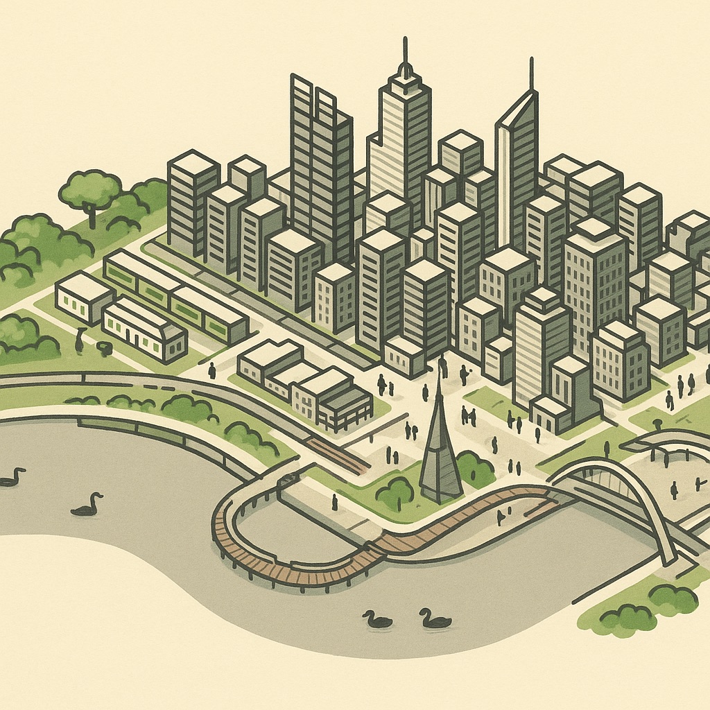
Perth has a reputation as a city you need a car for, and for most of the metro area that is fair. The inner city is a different place. Within the area the map covers — roughly Subiaco to Belmont and Leederville to Curtin — there are more train stations than most newcomers expect, a set of free buses that loop the centre, a ferry, and a river with a bike path along both banks. This is a guide to using them, written for people who have just arrived.
The shape of the network
Everything radiates from the middle of the city. The train lines fan out from a cluster of central stations, the buses mostly run to and from the Perth Busport beside the station, and the ferry crosses the river from Elizabeth Quay. The practical consequence is that travelling between two inner suburbs on opposite sides of the city usually means going through the centre, and that living near any station on any line puts you within a short ride of everything else on the map. Fares are by zone, paid with a SmartRider card or a contactless bank card, and the inner suburbs in this article are almost all in the first zone or two.
The train lines and the city stations
Transperth runs a handful of heavy-rail lines, and the inner city sees all of them. Coming from the west, the Fremantle line runs through Subiaco, West Leederville and City West into Perth station. From the north the Yanchep line, still called the Joondalup line by everyone who was here before the extension, stops at Leederville and Glendalough before diving underground into Perth Underground and Elizabeth Quay. From the east the Midland line comes through Maylands, Mount Lawley, East Perth and Claisebrook; the Airport line and the newer Ellenbrook line share those tracks into the city. From the south the Armadale line crosses the river at Burswood and stops at Victoria Park and Carlisle, and the Mandurah line runs down the middle of the freeway to Canning Bridge and beyond.
The thing that confuses newcomers is that “Perth station” is three places. The original above-ground station serves the Fremantle, Midland, Armadale and Airport lines; Perth Underground, directly beneath it, serves the Yanchep and Mandurah lines; and Elizabeth Quay, one stop further south on the underground pair, is the station closest to the river. McIver and Claisebrook, just east of the centre, are the stops for East Perth. Once you know that, the network reads easily.
The free zone and the CAT buses
The centre of the city is a Free Transit Zone: buses within it are free to board, and so are trains between the central stations. The boundary roughly follows the edge of the CBD and Northbridge, so a trip from Perth station to Elizabeth Quay or from the Busport to the Cultural Centre costs nothing. You still tag on with a SmartRider on the trains so the system knows you started inside the zone.
Inside and just beyond the zone run the CAT buses, the free circular routes named by colour. The Blue CAT links Northbridge with Elizabeth Quay through the middle of the city; the Red CAT runs east-west from East Perth to West Perth along the length of the CBD; the Green CAT runs out to Leederville and back; and the Yellow CAT loops East Perth and Claisebrook. They are the easiest way to cross the city with shopping, and the first thing most residents learn.
- Perth Busport, under the Yagan Square end of the station, is where the suburban buses leave from. Stands change, so read the screens.
- Elizabeth Quay Bus Station at the bottom of the city serves the southern and freeway routes.
The ferry
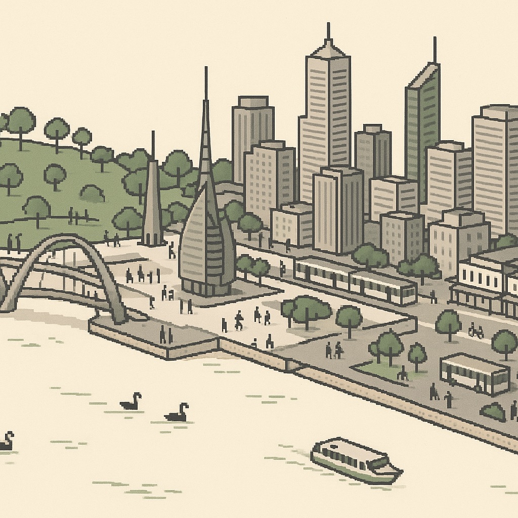
There is exactly one ferry route, and it is a good one: Elizabeth Quay to Mends Street Jetty in South Perth, a crossing of a few minutes that lands you at the bottom of the South Perth café strip and a short walk from the zoo. It runs on the standard fare system. For anyone living in South Perth and working in the city it is a commute; for everyone else it is the cheapest cruise in Western Australia.
Bikes and the river paths
Perth is flat, dry and built on a river with a path along most of its bank, which makes it a better cycling city than its reputation suggests. The principal shared paths follow the railway lines and the Kwinana and Mitchell freeways out of the centre, separated from traffic the whole way, and the river foreshore path links the Narrows, Elizabeth Quay, Langley Park and the Causeway on the north bank with the South Perth foreshore on the other. Between them you can reach most of the suburbs on the map without riding on a road for more than a few blocks.
Bikes travel free on trains outside the morning and afternoon peaks, which turns a long ride into a one-way trip: ride out along the river, come back on the Fremantle line. Shared e-scooters and e-bikes come and go under council trials, so treat them as a bonus rather than a plan.
To and from the airport
Since the Airport line opened, the airport is a train ride. Airport Central station sits beneath the terminal precinct that Qantas does not use; the other terminals are a shuttle bus away, and the shuttle is free. Trains run into Perth station via Bayswater and the Midland line stations, so anyone living along Maylands or Mount Lawley has a direct service. It is the one part of the network where the map’s coverage ends before the destination does, but the line itself is the simplest airport link of any Australian capital.